
 Photo: FrDr · CC BY-SA 4.0
Bay of Kotor Loop
Trace both shores from Kotor to Perast and Herceg Novi, then return through Luštica and Tivat with the bay constantly changing shape.
- Allow
- 2–3 days
- Route
- 124 km
- Drive time
- 3 hr 6 min
- Stops
- 6
The Bay of Kotor is not one viewpoint but a sequence of reveals: Kotor’s cliff-backed walls, Perast’s island churches, Risan’s older layers, Herceg Novi’s stepped streets and the lower, brighter water around Luštica and Tivat. Driving lets those places become one landscape rather than separate excursions.
The road is narrow and intensely used in summer. Make it a two- or three-day circuit, park outside historic cores, and decide deliberately whether to ride the Kamenari–Lepetane ferry or follow the full shoreline. The slower choice is often the point.
The road, in one glance
Pinch or scroll with Ctrl / ⌘ to zoom
Drawing the route…
The route earns
its distance
Each pin is selected as a place to do something—not merely proof that you passed through.
 Photo: User:Ggia · CC BY-SA 3.0
Kotor
Begin inside the walls on foot, then collect the car only when the bay road becomes the day’s subject.
Kotor, historically known as Cattaro, is a town in Coastal region of Montenegro. It is located in a secluded part of the Bay of Kotor. The city has a population of 13,347 and is the administrative center of Kotor Municipality.
Photo: FrDr · CC BY-SA 4.0Perast
A narrow baroque town and two island churches compress the bay’s maritime history into one walkable waterfront.
Perast (Serbian and Montenegrin: Пераст) is a town in Coastal region of Montenegro. It is situated a few kilometres northwest of Kotor and is noted for its proximity to the islets of St. George and Our Lady of the Rocks.
 Photo: Diego Delso · CC BY-SA 3.0
Risan
Roman mosaics and a quieter working waterfront add an older, less polished layer to the innermost bay.
Risan is a town in the Bay of Kotor, Montenegro. It traces its origins to the ancient settlement of Rhizon, the oldest settlement in the Bay of Kotor. Lying in the innermost portion of the bay, the settlement was protected from the interior by inaccessible limestone cliffs of the Orjen mountain which are the highest range of eastern Adriatic, and through several following narrow straits in the Bay of Kotor from the open sea.
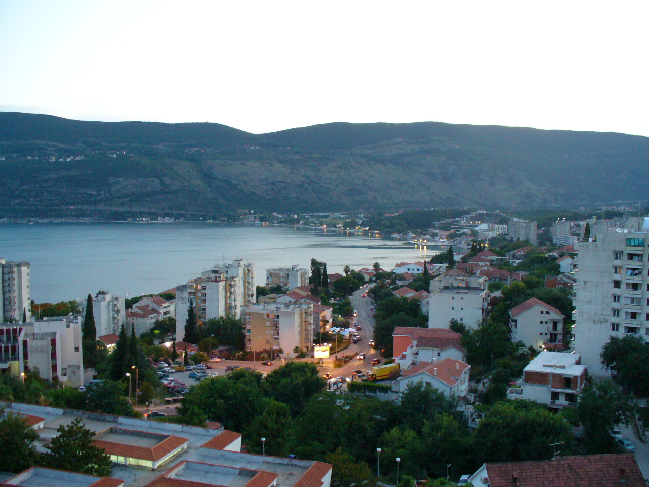 Photo: Zlatko at en.wikipedia · CC BY-SA 3.0
Herceg Novi
Fortresses, steep stair streets and a long seafront promenade reward an overnight at the bay’s outer gate.
Herceg Novi is a town in Coastal region of Montenegro located at the Western entrance to the Bay of Kotor and at the foot of Mount Orjen. It is the administrative center of the Herceg Novi Municipality with around 33,000 inhabitants. The town was founded as a fortress in 1382 by the King of Bosnia, Tvrtko I Kotromanić, and named after Saint Stephen but the name did not stick, instead it became known as Novi (transl.
 Photo: Suradnik13 · CC BY-SA 4.0
Luštica Peninsula
Olive country, small coves and open-sea views make the peninsula feel removed from the dense inner-bay road.
Luštica is a peninsula on the south Adriatic Sea, located at the entrance of the Bay of Kotor (Serbo-Croatian: Boka kotorska or Boka) in southwestern Montenegro. It effectively separates Tivat Bay from the Adriatic. The peninsula has an area of 47 km2 and is 13 km long.
 Photo: Dreizung · CC BY-SA 4.0
Tivat
A modern marina town gives the circuit an urban pause before the final short return to Kotor.
Tivat is a town in the coastal region of Montenegro, located in the Bay of Kotor. As of 2011, its population was 9,367. Tivat is the centre of Tivat Municipality, which is the smallest municipality by area in Montenegro.
Drive the conditions,
not the itinerary.
Bay traffic can turn a short distance into a long hour. Avoid cruise arrival peaks, use signed parking and never stop in a live lane for a photograph.
Checked against
the people who run it
Distances and driving times are planning estimates. Conditions, closures, ferries, permits and park rules can change, so check the linked official guidance before setting out.